[Attention: If you didn't request this email you can click here
to stop them.]
|
|
What’s next on my to-do list? I’ll most often consult a sheet of paper or my office whiteboard for the answer, even though I’m a “techy” guy. If you like the sweet satisfaction of checking tasks off a list, you’ll love the 26 new to do lists at PrintableToDoList.com. They range from tiny blank checklists to detailed to do
lists.
I’ve also added even more printable maps to PrintableWorldMap.net. It’s a versatile batch of county and borough maps for U.S. states.
I’d like to send out a special thanks to those of you who are supporting
FreePrintable.net as a Patreon member. Your monthly donation enables the creation of even more free
printables. | |
|
|
There are new blank checklists with colorful accents as well as lists with heart and doodle accents and lots more.
PrintableToDoList.com is ready for back-to-school with an "at school" to do list. There are also new lists for tracking phone calls, emails, or faxes to political representatives.
The site has new specialty lists and project to do lists such as tasks to delegate. I've even added lists for brainstorming band names or baby names.
I’ve also added an "in the garden" list, a music play list, a list for favorite quotations, and lists for personal achievements, habit tracking, recipes to try, and DIY
projects.
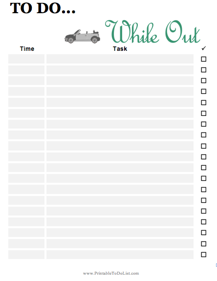
Other new lists include: "before bed" and "in the morning" checklists, a "while out" checklist, an "at work" checklist, a list for important dates, and long-term and short-term checklists.
Everything at PrintableToDoList.com, from basic lists to event and holiday lists, is free to download and print for free in PDF or format or as a DOC file you can edit in Microsoft
Word.
|
|
It was only a couple of months
ago that I added new maps to PrintableWorldMap.net. But I’ve just added even more maps to the site.
The new printables are a set of U.S. state and territory maps on which the counties, boroughs, and wards are delineated with light gray lines. These are handy for reference for business and political purposes, or just for educating oneself on geography. Color them in with pens or pencils if you’d like.
The site also has continent maps, country maps, regional maps, blank maps, labeled maps, and fill-in maps. There are topical maps illustrating time zones, bodies of water, U.S. statehood, animal habitat, the Oregon Trail, and
lots more. There are even cute state maps with pastel colors and a heart on each near where the capital is located.
PrintableWorldMap.net isn’t limited to Earth. There’s a nice collection of constellation maps that show star configurations and names.
Now, PrintableWorldMap.net has more than 250 maps to instantly download and print for free in PDF form. Or, conveniently download the entire map collection at once for just $9.
Thanks for your emails with ideas for new printables! Please keep writing in, and also check out the
FreePrintable.net Patreon page and consider becoming a member. Thanks and happy
printing!
|
|
|
|
|
Sincerely,
FreePrintable.net
kevin@freeprintable.net
|
|
|
|